www.la-roche-en-ardenne.be © 2026 Tous droits réservés.
Balades
Mont de Mousny (Ortho-Hives)
Ortho
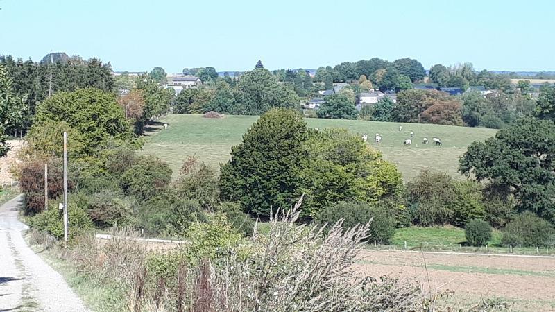
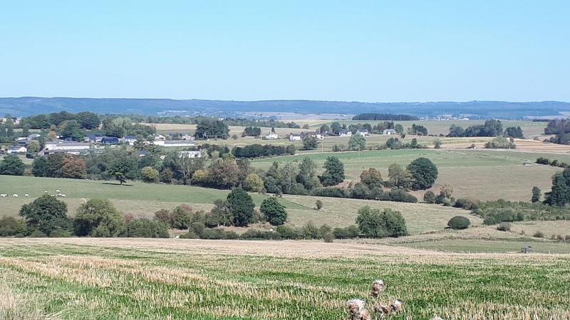
A la sortie du village d'Ortho, s'engager sur le chemin empierré vers la gauche en direction de Mousny, altitude 438 m.. Une légère côte de 400 mètres est à monter avant de découvrir un panorama exceptionnel sur « Mont de Mousny » devant vous, sur Ortho derrière vous et même les éoliennes sur le plateau de Bastogne. Vous resterez sur les hauteurs du village , mais libre à vous d'allonger un peu la balade en allant jusqu'au site « des Blancs Cailloux ». Voir sur la carte. Retour en passant par le lieu-dit « Maladri » avant de rejoindre la route d'Ortho. Une heure de balade au grand air sur chemin en pleine campagne, traversant les prairies et cultures de céréales.
Cette promenade fait partie de la carte pédestre Ortho-Hives disponible dans nos bureaux d'accueil ou commandable en ligne sur https://www.coeurdelardenne.be/shop
Balisage: croix bleu. N°3 - 5km - Promenade au départ de l'Eglise d'Ortho.
Markering: blauw kruis. N°3 - Wandeling van 5 km vanaf de Kerk van Ortho.


